“OCSB” Joins Forces with “THAICOM” to Launch Satellite and AI-Driven Platform
for Detecting Sugarcane Field Burning
Aiming to Reduce Air Pollution and PM2.5 Levels
Bangkok, 15 July 2025: The Ministry of Industry, the Office of the Cane and Sugar Board (OCSB), and Thaicom Public Company Limited have officially launched a new platform that uses satellite technology and geospatial data combined with Artificial Intelligence (AI) to track and detect sugarcane field burning. The initiative aims to expand the use of this technology across other agricultural sectors contributing to air pollution, particularly PM2.5. The partners are confident that this tool will help significantly reduce air pollution to acceptable levels, while supporting the sustainable growth of the agricultural industry and strengthening the national economy.
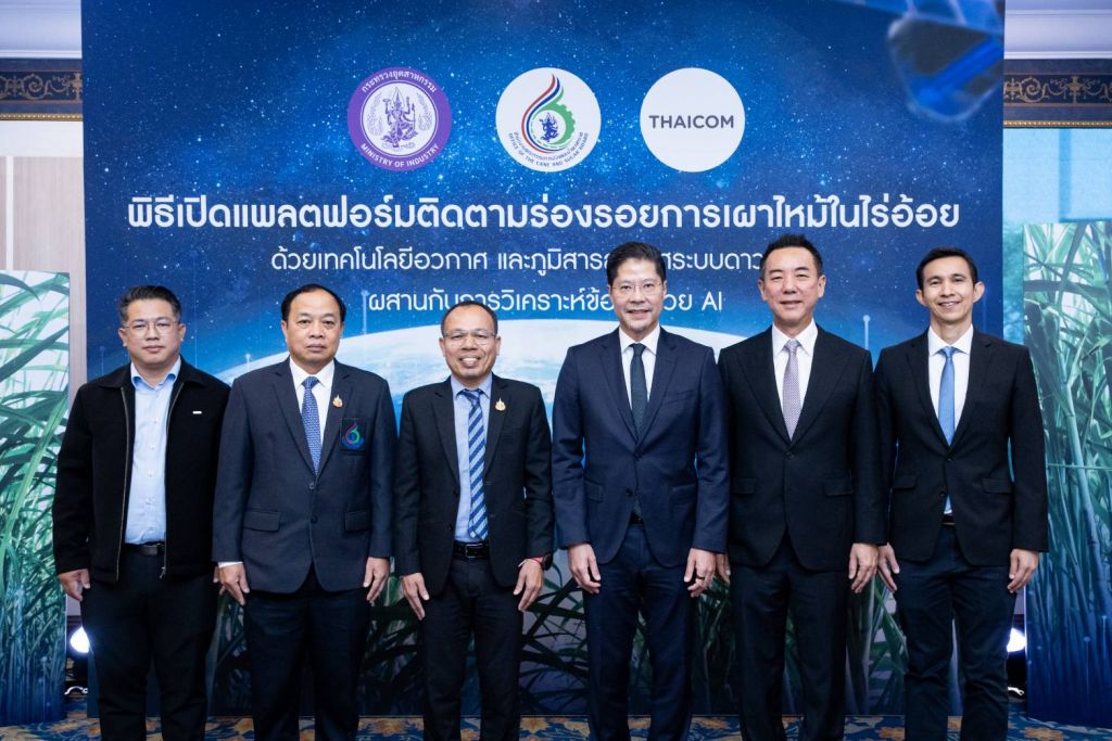
The event presided over by Mr. Bainoy Suwanchatree, Secretary General of The Cane and Sugar Board (OCSB), Ministry of Industry, together with Mr. Patompob (Nile) Suwansiri, Chief Executive Officer of Thaicom Public Company Limited, at the Buhnga Room of the Golden Tulip Sovereign Hotel. The event was well attended by distinguished guests and members of the media.
Mr. Bainoy Suwanchatree, Secretary General of The Cane and Sugar Board (OCSB), Ministry of Industry, stated at the event that the OCSB has been actively implementing the “MIND” Policy: Leading with Head and Mind to Foster Industry and Community initiated by Mr. Nattapol Rangsitpol, Permanent Secretary of the Ministry of Industry. The vision for Thailand’s cane and sugar industry is to grow sustainably and in harmony with the environment. He added “In the 2024/2025 production year, there are 430,357 registered sugarcane farmers across 11.13 million rai of plantation area, with a total crushing volume of 92.04 million tons. On average, sugar yield per ton of cane is 109.19 kilograms. In 2024 alone, the sugarcane and sugar industry has already contributed more than 184 billion baht to the Thai economy. As of May 2025, just halfway through the year, the industry has generated over 92.5 billion baht in national revenue.”
He further addressed the global sugar market “According to the International Sugar Organization (ISO), Thailand accounts for 5 percent of global sugar production, ranking as the world’s fifth largest sugar producer after Brazil, India, the European Union, and China. Thailand also holds a 9 percent share of global sugar exports, making it the second largest exporter after Brazil, surpassing India in the past year. This reflects the strength and competitiveness of Thailand’s sugar industry and its important role in the global sugar market.”
The Secretary-General of OCSB also shared key achievements for 2025 “The Office has prioritized transforming the sugar industry toward a modern, clean, and transparent economy. A major focus has been tackling PM2.5 pollution caused by sugarcane burning during the 2024/2025 harvesting season. In response, OCSB has implemented six measures to address sugarcane burning and reduce PM2.5 emissions. One of these measures is the promotion of agricultural technology and machinery, including the support of research and development, and the use of satellite-based tools to detect and track burn areas. This led to the development of the Burn Tracking platform in collaboration with Thaicom Public Company Limited, which serves as a key technological solution in this effort.”
“As a result of these measures, the issue of PM2.5 pollution caused by sugarcane burning was significantly reduced over the past year. Fresh cane accounted for 85 percent of the total crushed volume, totaling 78.3 million tons, while burned cane represented only 15 percent or 13.68 million tons. This marks a notable improvement from the 2023/2024 season, when 29 percent or 24 million tons of the crushed cane came from burned fields. The reduction in burned cane amounts to more than 10 million tons, equivalent to preventing the burning of over 1 million rai of land, and reducing PM2.5 emissions by more than 5,000 tons per year. This is the lowest level ever recorded. This presents a valuable opportunity for the OCSB and Thaicom to formally introduce the Burn Tracking Platform, a space technology and satellite-based geoinformation system combined with AI-powered data analysis. This platform is a vital tool that demonstrates our firm commitment to addressing environmental challenges, reducing sugarcane burning, carbon dioxide emissions, and PM2.5 pollution in a comprehensive and sustainable manner.”
In addition, the Secretary-General of OCSB outlined the strategic plan for fiscal year 2026 “We remain committed to driving all missions with Leading with “Head” and “Mind” to Foster Industry and Community. Our goal is to increase farmers’ income, support downstream industries, and accelerate the development of the bio-based economy, positioning Thailand as the Bio Hub of ASEAN by 2027. Key initiatives include the development of bioplastics to address environmental challenges, reduce sugarcane burning, lower carbon dioxide emissions, and decrease PM2.5 pollution. We are also working to establish a national network of BioExcellent Centers and promote the use of technology to enhance sugarcane yield and sugar production efficiency, paving the way for innovative smart farming solutions.”
Mr. Patompob (Nile) Suwansiri, Chief Executive Officer of Thaicom Public Company Limited, stated, “Thaicom has long collaborated with various public and private sector organizations to apply space technology in developing innovative and sustainable environmental solutions. We are proud to partner with the Office of the Cane and Sugar Board under the Ministry of Industry in this important initiative to develop a satellite-based platform that tracks sugarcane field burning. By combining geospatial data from satellite systems with Artificial Intelligence, this platform is designed to help improve air quality and support environmental protection, particularly in reducing PM2.5 pollution.”
Mr. Patompob Suwansiri, Chief Executive Officer of Thaicom Public Company Limited stated “Thaicom has long collaborated with various public and private sector organizations to apply space technology in developing innovative and sustainable environmental solutions. We are proud to partner with the Office of the Cane and Sugar Board under the Ministry of Industry in this important initiative to develop a satellite-based platform that tracks sugarcane field burning. By combining geospatial data from satellite systems with Artificial Intelligence, this platform is designed to help improve air quality and support environmental protection, particularly in reducing PM2.5 pollution.”
Mr. Patompob further explained “This platform, known as Burn Tracking, is an analytical system that monitors sugarcane field burning and burn traces using satellite-based space and geospatial technology. It presents an overview of burning activities in sugarcane plantation areas through a user-friendly dashboard, enabling fast, convenient, and effective monitoring. The system also provides data analysis on sugarcane cultivation areas, crop yields, and forecasts of cane volume to be delivered to sugar mills. It identifies heat spots and burned areas using spatial maps, which enhance accessibility and speed in utilizing the data. Users can export the results in PDF and CSV formats. In addition, the platform offers real-time communication with staff, timely updates, and heat alerts in sugarcane areas through its Line Official Account.”
“Thaicom is deeply grateful and honored to have contributed our full capabilities to the development of this intelligent platform. By integrating space technology with satellite-based geospatial data and advanced AI-driven analysis, the platform serves as a powerful tool to improve air quality and environmental conditions. Most importantly, it supports efforts to reduce PM2.5 pollution caused by agricultural burning. While it has been initially applied to the sugarcane industry, the technology holds strong potential to be extended to other agricultural sectors as well.”
Mr. Patompob expressed his confidence that this collaboration will help raise public awareness and actively promote environmental protection and air quality improvement, particularly by reducing PM2.5 to within acceptable levels. He also believes that the initiative will support the continued growth of the agricultural sector, especially the cane and sugar industry, and contribute to the sustainable development of the national economy.
Following the remarks, an official launch ceremony was held for the Burn Tracking Platform, which utilizes satellite-based space and geospatial technology combined with AI-powered data analysis. During the event, Mr. Suwin Chaiwang, Director of the Information and Communication Technology Center at the Office of the Cane and Sugar Board. together with Mr. Teeratas Koetchuay, GM of the Space Technology Product Office at Thaicom Public Company Limited, conducted a live demonstration of the platform’s key functions.
- DASHBOARD: The platform provides an overview analysis of burning activities in sugarcane cultivation areas. It displays comprehensive data at both the project-wide and regional levels, including sugarcane plantation areas, crop yield figures, projected sugarcane supply to mills, overlapping cultivation zones, heat spots, and burned residue areas.
- MAP: This feature presents data in the form of maps, displaying sugarcane cultivation areas, crop yields, and forecasts of cane volume to be delivered to mills. The data is presented from a project-wide overview down to provincial and subdistrict levels, with detailed information for specific locations. This enhances the convenience and accuracy of data analysis, enabling users to quickly focus on and interpret areas of interest with greater precision.
- Mini Dashboard: This feature allows users to compare data at the provincial, district, and subdistrict levels, with results displayed through spatial maps. It is designed to support officials in conducting spatial analysis in a more convenient, timely, and focused manner. For heat spots and burned areas, the system presents data on heat points detected in sugarcane cultivation zones, as well as areas with visible burn traces during the harvesting season. The information is displayed on maps, ranging from a project-wide overview to provincial and subdistrict levels. Users can select the desired time frame to view the data, including daily, weekly, yearly, or a custom period. This flexibility enhances the effectiveness of the platform as a tool for planning and managing sugarcane-related projects with accuracy and efficiency.
- MAP EXPORT : Users can select specific areas and data of interest and export the information as maps in PDF or CSV file formats for further use.
- BURNTRACKING Line Official Account Officials can receive real-time alerts about heat spots in sugarcane cultivation areas and communicate directly with support staff for consultations and inquiries related to sugarcane issues through the Line Official Account.
###
Media Contact:
Corporate Communications
Tel: +66 2-596-5060
Email: [email protected] / [email protected]
Share this news: